Geography Resources

Units of work contain:

  • all of the resources you need for adaptive teaching
  • teacher notes containing a unit overview, lesson plans, all resources, suggested reading and resources
  • assessment suggestions and knowhow's unit assessment record sheet
  • animated teaching slides.

With some of our latest units, we're experimenting with powerpoint cameos to support teacher subject knoweldge. You can also order knowhow's skill and concept progression templates. Populate these based on your preferred curriculum sequence. The latest version of our procedural skills postcards will be available for September '24. 

Key Stage 1

Find out more about this Key Stage 1 unit which seeds fieldwork skills, helps pupils develop a sense of place and connects schools in the UK and overseas. This is an ideal tool to support comparisons with 'non European countires' (National Curriculum, England).

Key Stage 2

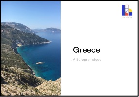
Greece

This European study introduces pupils to vegetation belts and enables comparison with the UK. Use Maps from Memory to learn more about the significance of Greece's location. Read topographical maps to explore how physical geography affects place and a living graph to explore toursim and change in Kefalonia.


Suitable for Year 3 - 6


£30

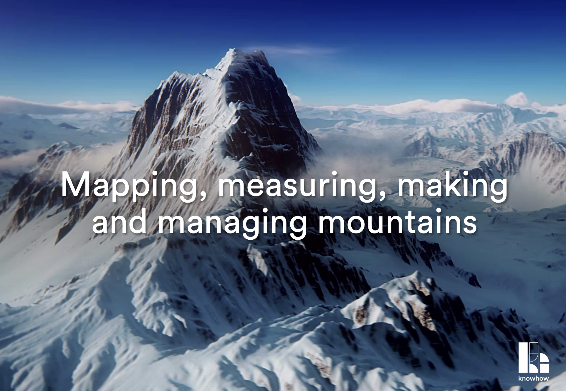
Mountains

This unit introduces mountainous environments. Practise using atlases and digital technology to locate mountains around the world before learning how to read contours. Use this knowledge to explore how humans interact with mountainous areas, exploring the costs and benefits of human activity and how we can adapt to live in more hostile environments.


Suitable for Year 3 - 6


£30

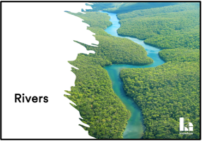
Rivers

Explore rivers and the ways in which people use them. Practise cartographic skills and investigate physical and human processes at work in river basins. Use maps, aerial photos and secondary data to decide on the best location for a beginners SUP session. Investigate a rivers course to find out how it changes from source to mouth and how rivers change over time.


Suitable for Year 3 - 6


£30

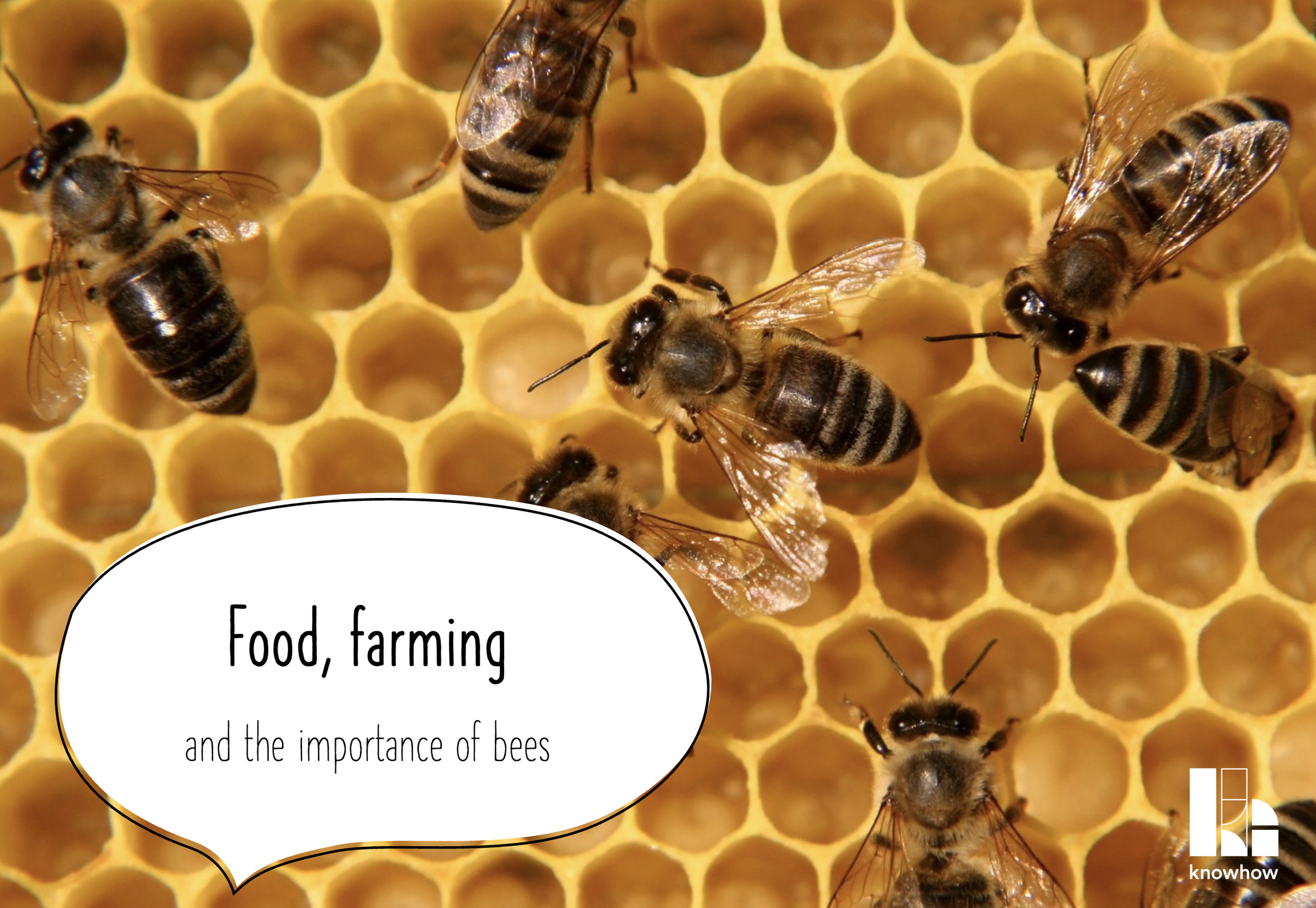
Food, farming and the importance of bees

Investigate why our food habits have changed over time and where our food comes from. Find out why bees matter so much and if we should therefore avoid the use of chemicals in food production. Connect with you local beekeeping association or local beekeeper and arrange a farm visit to get the most out of this unit.


Suitable for Year 3 - 6


£30

The geography of housing

Explore how location influences house design around the world. Investigate changes in housing and settlement in your local area. Consider sustainability locally and look at the way some cities are becoming more sustainable. This unit also provides the opportunity for local fieldwork.


Suitable for Year 3 - 6 (ideally upper Key Stage 2)


£30

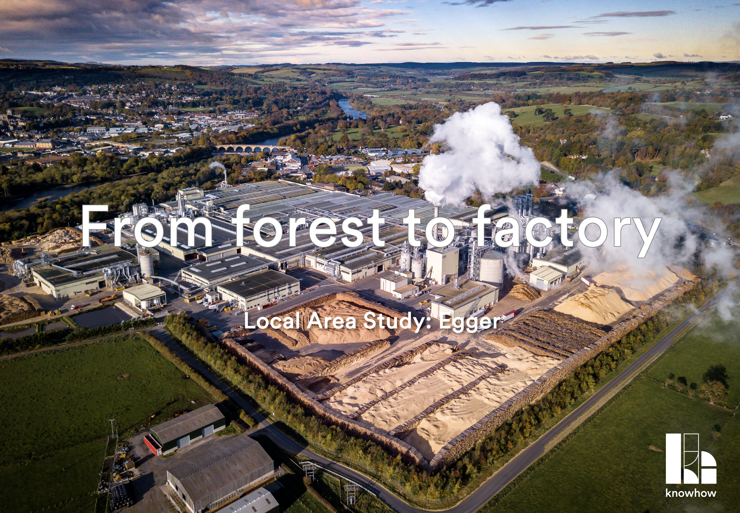
From forest to factory

This local area study develops knowledge of employment and manufacturing (including environmental impact and mitigation). It incorporates fieldwork techniques to investigate changing employment in your local area and local perception of industrial activity. This unit provides a template which you can adapt to develop a locally relevant study such as our Farming to pharmaceuticals alternative.

Suitable for Year 3 - 6


£30

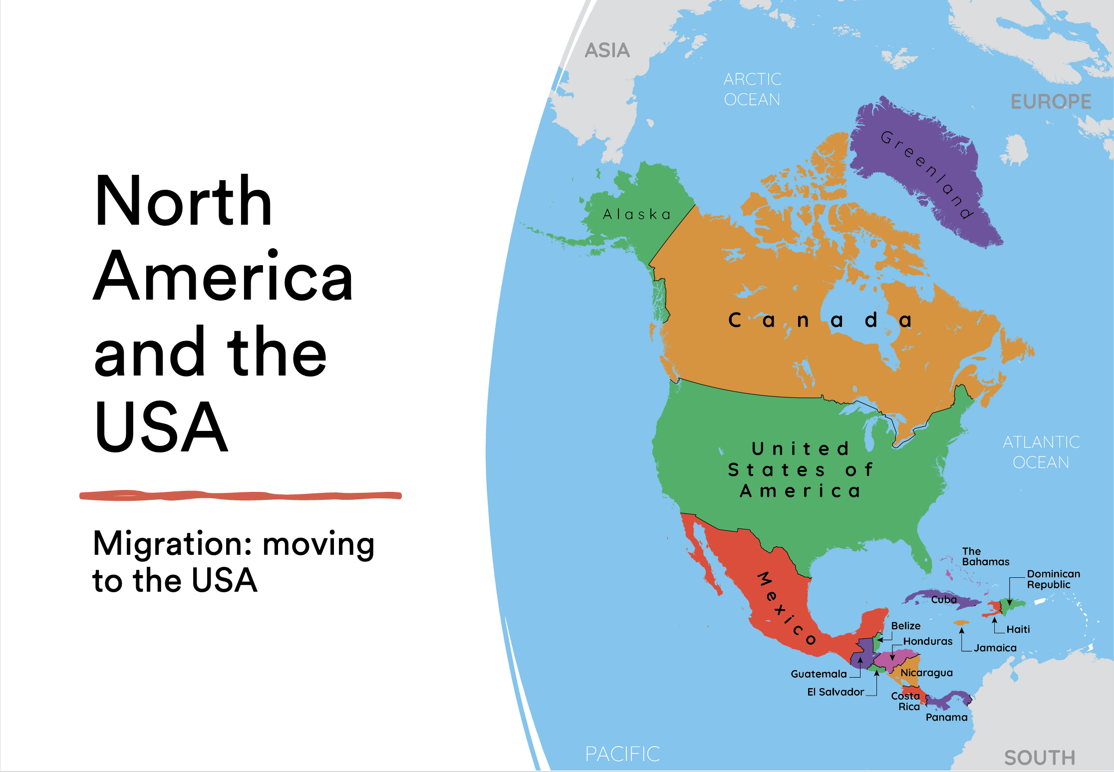
North America and the USA

Investigate regional variation in North America and the USA. Use our interactive map maker to identify and locate North American countries. Learn about timezones and practice a range of geographical skills. Explore immigration into the USA and consider the impact on settlement.


Suitable for Year 3 - 6


£30

Regional knowhow

Designed with lower Key Stage 2 in mind, this unit explores what we mean by a region before focusing on the North East. Consider what makes you region distinctive. Practice reading photographs, maps and using symbols.


Suitable for lower Key Stage 2


£20

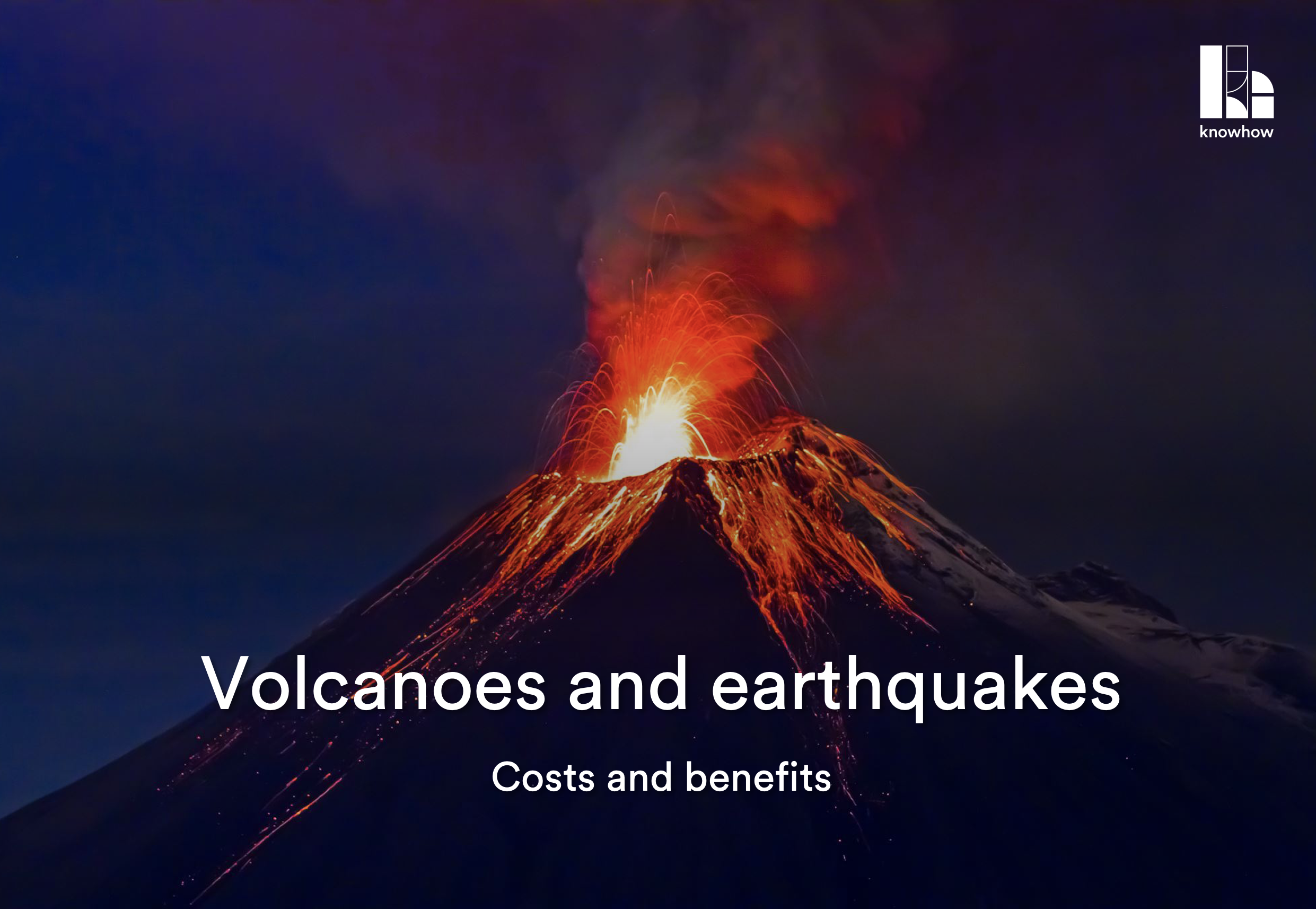
Volcanoes and earthquakes

Designed with lower Key Stage 2 in mind, this unit introduces pupils to volcanoes and earthquakes and their costs and benefits. Introduce pupils to ArcGIS to develop mapping skills


Suitable for lower Key Stage 2


£20

Scroll to Top